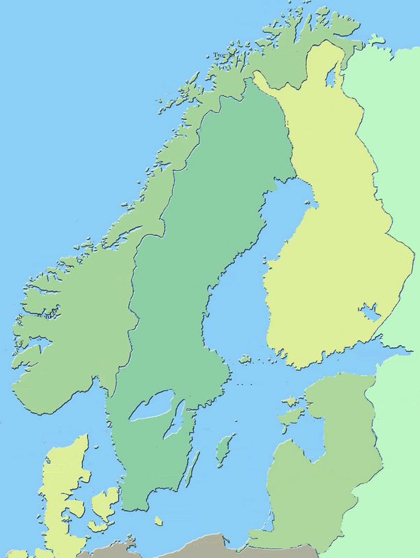
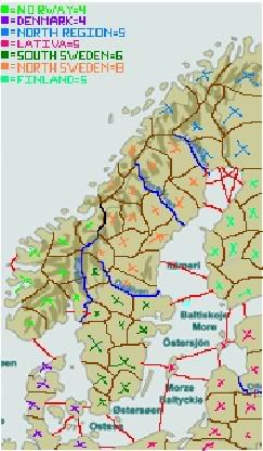
BTW: I'm making a scandinavian map only, this means: Norway, Sweden, Denmark and Finland.... baltics and others will not be used. Maybe Iceland, haven't decided yet... Objections?

Moderator: Cartographers
Not really. With the proper tools (for me, photoshop) it would only take as long as it takes to trace an outline to get it done. Then, resize, that should definitely not be a problem.Marvaddin wrote:This would be very very difficult. The map in first post is huge, much bigger than it should be, and it has useless names of cities and countries all over it. Edit it would be a hard job...
I have some spare time. I'll clean it up for you.Marvaddin wrote:This would be very very difficult. The map in first post is huge, much bigger than it should be, and it has useless names of cities and countries all over it. Edit it would be a hard job...
 Children, this is what happens to hockey players, druggies, and Hillary Clinton.
check this out, this opinion varies greatly http://en.wikipedia.org/wiki/Scandinaviajuventino wrote:well.. perhaps a bit childish... but Finland is not scandiniavian.. only sweden, norway and denmark
I tend to include Finland and Iceland and Greenland also, seeing that they have been in and out of unions and countries together. sometimes i incluse the baltic sea because they share quite a bit of common culturecoup wrote:I never said I disagread with you, its just that we need to get enough territories.... I just pointed out, that it may not be a definitive answer to the question... Maybe we just make one of Norway, Sweden and Denmark, but myself I've always have included Iceland, but not Finland...
...and of course I'll play it!
Children, this is what happens to hockey players, druggies, and Hillary Clinton.