
Venus doesn't have an ocean of course, so the answer to my question might be quite complex. How would you do it assuming different sea levels? Is that possible?
- Click image to enlarge.

Moderator: Cartographers


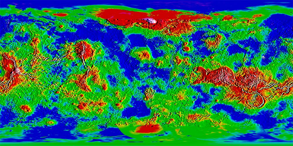


What do you mean by levels? I see Levels in Adjustments, but that doesn't seem to be what you're talking about (I'm using CS3 btw).oaktown wrote:For starters you need to figure out what your threshold will be for land and sea. Right now you have a lot of shades of green and blue so exactly where your coastlines lie is really hard to pinpoint. My first move would be to drive this down to a few simpler colors by adjusting the levels - this gave me the added benefit of really highlighting where my mountains are going to go.
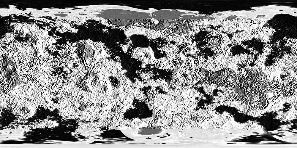
Looking back at this I probably didn't push it enough, but you get the idea. From here it's easier to start creating you continent layers... you could duplicate the layer, make it grayscale and drive it to line if you really wanted to simplify things. On the image below, black is water, everything else is land. Select your water, select inverse, and you've got your land selected.
- Click image to enlarge.
If that looks like not enough water, just go back and adjust layers to different levels until you like the balance. This was all about 15 seconds worth of work.
- Click image to enlarge.