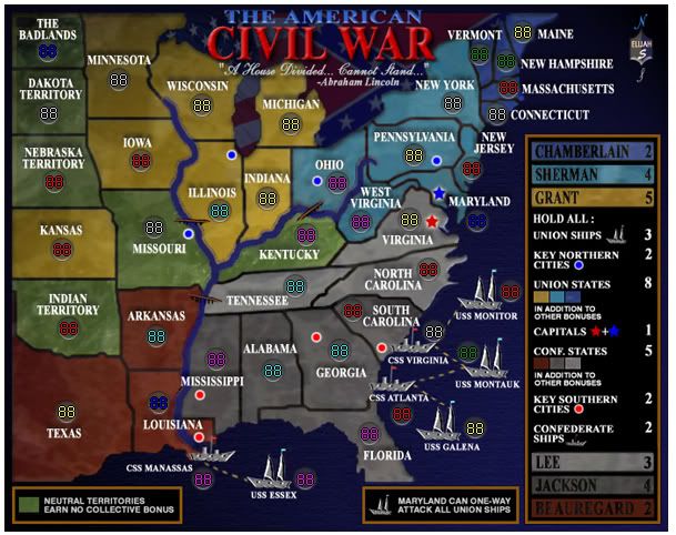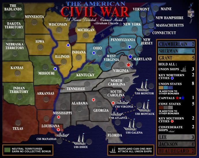
I forgot to crop the perimeter before loading this... so yes I'm aware that the border around it is too big and will fix it.
Moderator: Cartographers

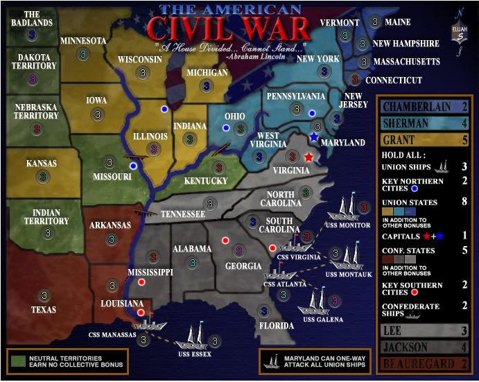
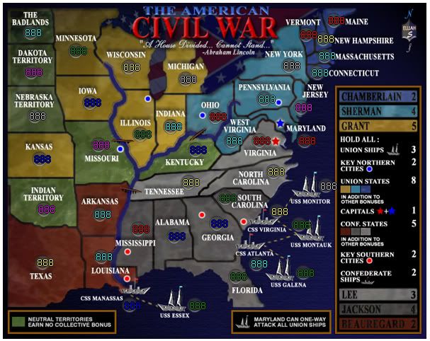
the ships to me look the same color as Virginia, tennesee and n carolina - i obviously know they are not part of the continent as i have been following the thread and can also follow the legend but i suspect this will not be the case for many - hence my posting of it hereColeman wrote:Wrong on both counts. Can you really not tell the difference between the ships and the territories they touch? This sounds like a personal problem.
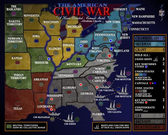
Thanks Coleman... My next update will have both size maps and the script.Coleman wrote:Once that's the right size, both large and small versions of it are up, and we have working xml I'm beyond satisfied with this.

can't speak for anyone else, but i can read them fine and my eyesight is far from perfect.spiesr wrote:The blue armies in Chamberlain may be a little hard to read. Can someone with bad eyes check this?
you should host up the xml file at sendspace (just type into google)Elijah S wrote:I checked the xml and army number placement using the CC Map tester and everything seems to line up well...